🇰🇼 Kuwait
 National Flag
Geography & Borders


Introduction & Background
Kuwait (/kʊˈweɪt/ⓘ;78 Template:Lang-ar al-Kuwayt, Template:IPA-afb or Template:IPA-afb), officially the State of Kuwait (Template:Lang-ar Dawlat al-Kuwaytⓘ), is a country in Western Asia. It is situated in the northern edge of Eastern Arabia at the tip of the Persian Gulf, bordering Iraq to the north and Saudi Arabia to the south.9 Kuwait also shares maritime borders with Iran. Kuwait has a coastal length of approximately 500km (311mi).10 Most of the country's population reside in the urban agglomeration of the capital city Kuwait City.11 As of 2022update, Kuwait has a population of 4.45 million people of which 1.45 million are Kuwaiti citizens while the remaining 3.00 million are foreign nationals from over 100 countries.
Historically, most of present-day Kuwait was part of ancient Mesopotamia.121314 Pre-oil Kuwait was a strategic trade port between Mesopotamia, Persia and India. Oil reserves were discovered in commercial quantities in 1938. In 1946, crude oil was exported for the first time.1516 From 1946 to 1982, the country underwent large-scale modernization, largely based on income from oil production. In the 1980s, Kuwait experienced a period of geopolitical instability and an economic crisis following the stock market crash. In 1990, after oil production disputes with neighbouring Iraq, Kuwait was invaded, and later annexed into one of Iraq's governorates by Iraq under Saddam Hussein.17 The Iraqi occupation of Kuwait came to an end on February 26, 1991, after military intervention by a military coalition led by the United States and various other countries.
Geography & Climate
Temperature (2025)
Precipitation & Snow (2025)
Atmospheric Pressure (2025)
Thunderstorm Days (2025)
Wind Speed (2025)
Air Quality — Monthly Averages (2025)
| Metric | Jan | Feb | Mar | Apr | May | Jun | Jul | Aug | Sep | Oct | Nov | Dec |
|---|---|---|---|---|---|---|---|---|---|---|---|---|
| PM2.5 μg/m³ | 38.1 | 41.1 | 40.6 | 49.5 | 57.5 | 60.3 | 62.5 | 74.3 | 50.2 | 53.8 | 45.2 | 45.1 |
| PM10 μg/m³ | 185.3 | 211.6 | 206 | 268.9 | 403.4 | 442.2 | 471 | 470.4 | 365.5 | 363.8 | 210.4 | 157.7 |
| O₃ μg/m³ | 74.3 | 79.4 | 100.1 | 95.4 | 111.1 | 126.1 | 118.5 | 126.2 | 107.5 | 89.3 | 82.3 | 62.6 |
| NO₂ μg/m³ | 11.5 | 9.7 | 10.6 | 13.8 | 5.7 | 3.1 | 1.2 | 4.2 | 5.3 | 7.4 | 16 | 11.5 |
| SO₂ μg/m³ | 13.6 | 8.2 | 11.8 | 11.4 | 7.4 | 7.3 | 3.4 | 10.4 | 7.5 | 8.8 | 14.5 | 12.9 |
| CO μg/m³ | 226 | 196 | 192 | 179 | 146 | 151 | 139 | 163 | 156 | 159 | 211 | 194 |
Pollen Levels — Monthly (2025)
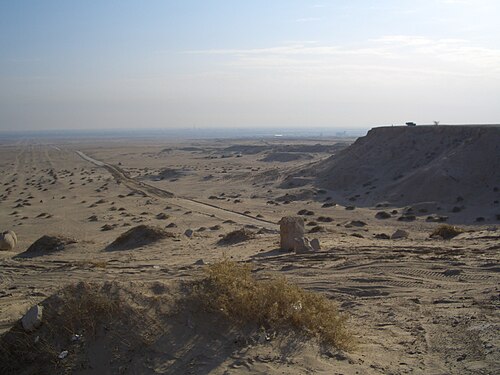
⛰️ Highest Elevation
- Map Locations: Google Maps | OpenStreetMap