🇵🇫 French Polynesia
 National Flag
Geography & Borders
This country has no land borders.
Introduction & Background
French Polynesia (/ˈfrɛntʃ pɒlɪˈniːʒə/ⓘ; Template:Lang-fr Template:IPA-fr; Template:Lang-ty) is an overseas collectivity of France and its sole overseas country. It comprises 121 geographically dispersed islands and atolls5 stretching over more than 2,000 kilometres (1,200mi) in the South Pacific Ocean. The total land area of French Polynesia is 3,521 square kilometres (1,359sqmi),2 with a population of 278,786 (Aug. 2022 census).3
Among its 121 islands and atolls, 75 were inhabited at the 2017 census.5 Tahiti, which is in the Society Islands group, is the most populous island, being home to nearly 69% of the population of French Polynesia as of 2017update. Papeete, located on Tahiti, is the capital of French Polynesia. Although not an integral part of its territory, Clipperton Island was administered from French Polynesia until 2007.
Geography & Climate
Temperature (2025)
Precipitation & Snow (2025)
Atmospheric Pressure (2025)
Thunderstorm Days (2025)
Wind Speed (2025)
Air Quality — Monthly Averages (2025)
| Metric | Jan | Feb | Mar | Apr | May | Jun | Jul | Aug | Sep | Oct | Nov | Dec |
|---|---|---|---|---|---|---|---|---|---|---|---|---|
| PM2.5 μg/m³ | 5.7 | 6.1 | 5.3 | 5.4 | 5.7 | 6.1 | 5.7 | 6.3 | 5.6 | 6.8 | 5.9 | 5.4 |
| PM10 μg/m³ | 9.1 | 9.7 | 8.7 | 8.8 | 9.4 | 10.2 | 9.4 | 10.4 | 9.2 | 11.1 | 9.6 | 8.7 |
| O₃ μg/m³ | 32.8 | 32.1 | 30.2 | 35 | 41.8 | 53.1 | 56.5 | 52.4 | 49.6 | 47.5 | 43.7 | 30.5 |
| NO₂ μg/m³ | 0 | 0 | 0 | 0 | 0 | 0 | 0 | 0 | 0 | 0 | 0 | 0 |
| SO₂ μg/m³ | 0.2 | 0.2 | 0.2 | 0.1 | 0.1 | 0.1 | 0.2 | 0.2 | 0.2 | 0.2 | 0.2 | 0.1 |
| CO μg/m³ | 78 | 76 | 69 | 72 | 71 | 76 | 80 | 79 | 84 | 90 | 81 | 77 |
Pollen Levels — Monthly (2025)
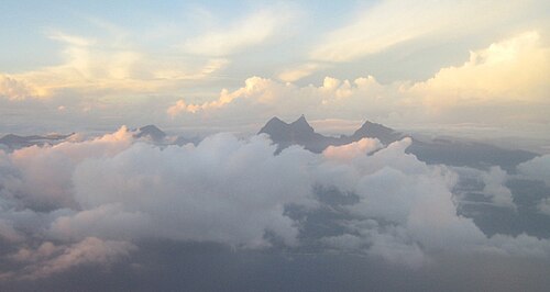
⛰️ Highest Elevation
- Map Locations: Google Maps | OpenStreetMap