🇬🇩 Grenada
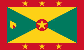 National Flag
Geography & Borders
This country has no land borders.
Introduction & Background
Grenada (/ɡrəˈneɪdə/ⓘ grə-NAY-də; Grenadian Creole French: Gwenad /ɡwiˈnaɪd/) is an island country in the West Indies in the Caribbean Sea at the southern end of the Grenadines island chain. Grenada consists of the island of Grenada itself, two smaller islands, Carriacou and Petite Martinique, and several small islands which lie to the north of the main island and are a part of the Grenadines. It is located northwest of Trinidad and Tobago, northeast of Venezuela and southwest of Saint Vincent and the Grenadines. Its size is 348.5 square kilometres (134.6sqmi), and it had an estimated population of 112,523 in July 2020.10 Its capital is St. George's.10 Grenada is also known as the "Island of Spice" due to its production of nutmeg and mace crops.11
12°07′N 61°40′W / 12.117°N 61.667°W / 12.117; -61.667 Before the arrival of Europeans in the Americas, Grenada was inhabited by the indigenous peoples from South America.12 Christopher Columbus sighted Grenada in 1498 during his third voyage to the Americas.10 Following several unsuccessful attempts by Europeans to colonise the island due to resistance from resident Island Caribs, French settlement and colonisation began in 1649 and continued for the next century.13 On 10 February 1763, Grenada was ceded to the British under the Treaty of Paris. British rule continued until 1974 (except for a brief French takeover between 1779 and 1783).14 However, on 3 March 1967, it was granted full autonomy over its internal affairs as an Associated State, and from 1958 to 1962 Grenada was part of the Federation of the West Indies, a short-lived federation of British West Indian colonies.
Geography & Climate
Temperature (2025)
Precipitation & Snow (2025)
Atmospheric Pressure (2025)
Thunderstorm Days (2025)
Wind Speed (2025)
Air Quality — Monthly Averages (2025)
| Metric | Jan | Feb | Mar | Apr | May | Jun | Jul | Aug | Sep | Oct | Nov | Dec |
|---|---|---|---|---|---|---|---|---|---|---|---|---|
| PM2.5 μg/m³ | 7.5 | 10.7 | 9.7 | 10.2 | 13 | 16.2 | 8.5 | 8.4 | 6.5 | 5.9 | 7.9 | 8 |
| PM10 μg/m³ | 12.2 | 17.7 | 17.4 | 18.1 | 27 | 38.4 | 20.3 | 21.1 | 13.6 | 9.9 | 13.6 | 13 |
| O₃ μg/m³ | 68.8 | 73.2 | 64.7 | 57.5 | 46.8 | 46.4 | 43.1 | 42.9 | 39.6 | 41.2 | 52.8 | 61.4 |
| NO₂ μg/m³ | 0.3 | 0.2 | 0.3 | 0.3 | 0.3 | 0.2 | 0.3 | 0.3 | 0.3 | 0.3 | 0.3 | 0.3 |
| SO₂ μg/m³ | 0.3 | 0.2 | 0.2 | 0.3 | 0.2 | 0.2 | 0.2 | 0.2 | 0.2 | 0.3 | 0.3 | 0.4 |
| CO μg/m³ | 112 | 120 | 126 | 130 | 124 | 110 | 101 | 110 | 118 | 112 | 109 | 103 |
Pollen Levels — Monthly (2025)
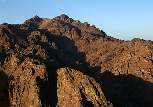
⛰️ Highest Elevation
- Map Locations: Google Maps | OpenStreetMap