🇧🇿 Belize
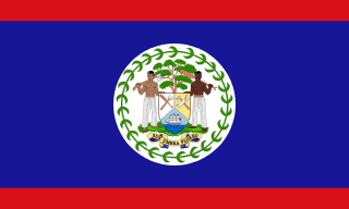 National Flag
Geography & Borders


Introduction & Background
Belize (/bəˈliːz/ⓘ; Template:Lang-bzj) is a Caribbean and Central American country on the northeastern coast of Central America. It is bordered by Mexico to the north, the Caribbean Sea to the east, and Guatemala to the west and south. It also shares a water boundary with Honduras to the southeast. It has an area of 22,970 square kilometres (8,867sqmi) and a population of 441,471 (2022).6 Its mainland is about 290km (180mi) long and 110km (68mi) wide. It is the least populated and least densely populated country in Central America. Its population growth rate of 1.87% per year (2018 estimate) is the second-highest in the region and one of the highest in the Western Hemisphere. Its capital is Belmopan, and its largest city is the namesake city of Belize City. Belize is often thought of as a Caribbean country in Central America because it has a history similar to that of English-speaking Caribbean nations. Indeed, Belize’s institutions and official language reflect its history as a British colony.
The Maya civilization spread into the area of Belize between 1500BC and AD 300 and flourished until about 1200.11 European contact began in 1492 when Christopher Columbus sailed along the Gulf of Honduras.12 European exploration was begun by English settlers in 1638. Spain and Britain both laid claim to the land until Britain defeated the Spanish in the Battle of St. George's Caye (1798).13 In 1840 it became a British colony known as British Honduras, and a Crown colony in 1862. Belize achieved its independence from the United Kingdom on 21 September 1981.14 It is the only mainland Central American country which is a Commonwealth realm, with King Charles III as its monarch and head of state, represented by a governor-general.15
Geography & Climate
Temperature (2025)
Precipitation & Snow (2025)
Atmospheric Pressure (2025)
Thunderstorm Days (2025)
Wind Speed (2025)
Air Quality — Monthly Averages (2025)
| Metric | Jan | Feb | Mar | Apr | May | Jun | Jul | Aug | Sep | Oct | Nov | Dec |
|---|---|---|---|---|---|---|---|---|---|---|---|---|
| PM2.5 μg/m³ | 5.7 | 6.7 | 8 | 7.9 | 8.8 | 9.3 | 9.4 | 6.9 | 4.2 | 4.5 | 4.5 | 4.3 |
| PM10 μg/m³ | 7.7 | 9.3 | 10.8 | 10.8 | 13.8 | 16.6 | 20.2 | 13.7 | 6 | 5.7 | 5.9 | 6 |
| O₃ μg/m³ | 66.2 | 68.5 | 69.3 | 71.3 | 46.3 | 45.8 | 49 | 46.7 | 44.6 | 48.3 | 58.4 | 59.4 |
| NO₂ μg/m³ | 1.1 | 1 | 1 | 0.7 | 0.6 | 0.4 | 0.5 | 0.5 | 0.6 | 0.7 | 0.8 | 1.1 |
| SO₂ μg/m³ | 0.4 | 0.4 | 0.4 | 0.4 | 0.3 | 0.3 | 0.4 | 0.4 | 0.3 | 0.3 | 0.5 | 0.5 |
| CO μg/m³ | 137 | 133 | 152 | 153 | 139 | 122 | 118 | 128 | 126 | 132 | 127 | 116 |
Pollen Levels — Monthly (2025)
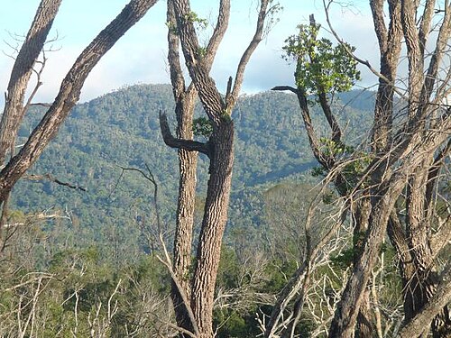
⛰️ Highest Elevation
- Map Locations: Google Maps | OpenStreetMap